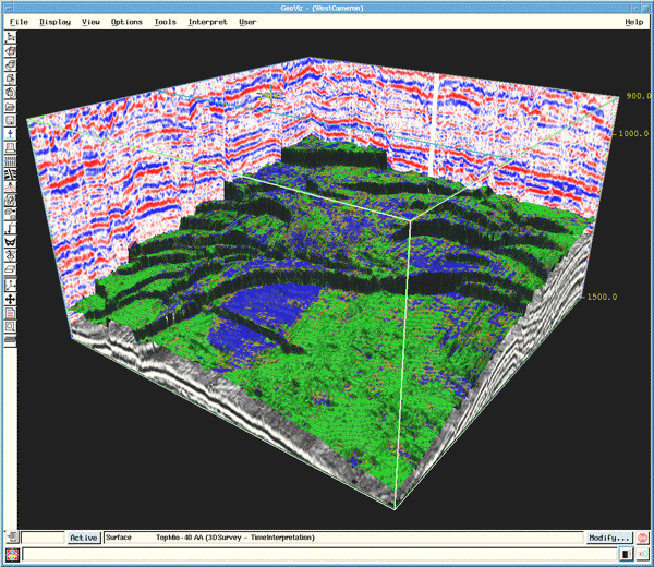
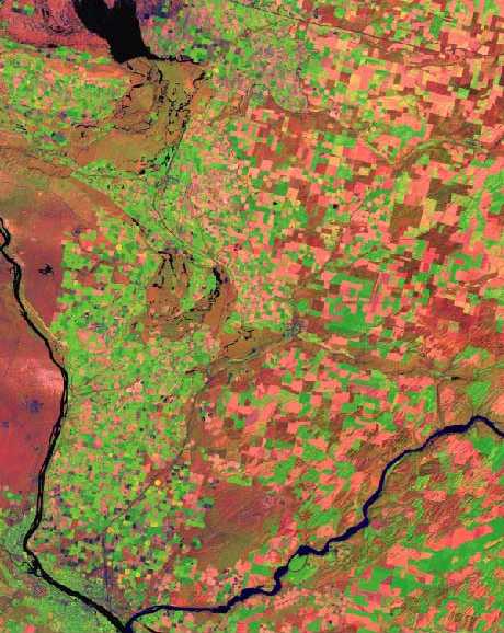
Oil discovery usually begins with the search for faults which can cause reservoir traps for oil deposits. There are three main methods which modern geologists use to identify oil deposits. These methods are seismic satellite imagery, surveys, and exploratory drilling.
http://pubs.usgs.gov/circ/circ1225/images/satellite.jpg
Satellite photography can identify faultlines and other geological formations which may suggest oil deposits. They are accurate enough to show features only meters across, while also identifying soil type and moisture content variations. Seismic surveys use vibration from explosions or other sound emission devices. Sophisticated surveys can even map three dimensional formations below the surface. The final step in oil exploration is exploratory drilling. Once information gained from the two other methods have identified an area as a possible oil deposit, a new well is drilled in hopes of discovering a significant amount of oil.